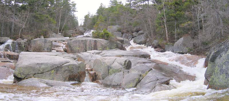
Mount Hale, May 12, 2008
Preview
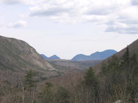
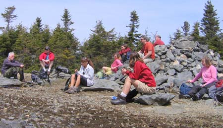 On May 10th we will hike Mt. Hale (4052'). This will be a loop hike with the ascent up Hale Brook Trail (2.2 mi.). We will then continue on the Lend-a-Hand Trail for 2.7 mi. This trail offers nice views of Carrigain Notch. We connect with Zealand Trail. We can stop at the hut for a potty/snickers break before continuing on the 2.3 mi. to the parking lot. A forest ranger that I spoke with felt Zealand Road should be open by Mid-May. If the road is closed, park across Route 302 in the lot. We will adjust our hike accordingly going up and down Hale Brook Trail rather than the loop.
Hike Rating - Moderate (due to conditions - trails ascending and descending are an easy grade).
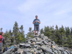 Total miles 7.2, time 6 + hours
NEXT HIKE: May 12, Mount Hale
MEETING SPOTS: Mobile station in Wakefield (junction of Rt. 16 and 109) at 7:15 a.m.
Exit 14 off of Rt. 93, LL Bean/Hannaford side, Concord at 7:30 a.m.
Hale Brook Trailhead at 9:30 a.m
TRAILHEAD: Route 302 to signs for Zealand Campground (2.3 mi. east of Twin Mountain Village). Follow Zealand Road to parking area 2.5 miles from Route 302.
HIKE LEADER: Deb Hann
Regarding Hale…it appears Jack and Deb are running a postholing competition. We learned during Saturday's hike that 3 inches of hardpacked snow can mysteriously "expand" to more than 12 inches…now I think I'm seeing why Deb so graciously pulls out a couple of pounds of chocolate during so many of her fabulous hikes - a little bribery goes a long way with this crowd! Here is her report:
On Saturday, May 10 twelve hikers and two dogs ascended Mount Hale via the Hale Brook Trail. Weather was mild and the sun peeked through the clouds. Black flies were calm/submissive.
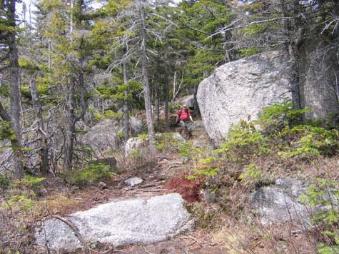
Hale Brook Trail is a gradual yet constant grade. Okay, I may have miscalculated the depth of snow in shaded areas.... To coin Jack's term, we were "postholing"!
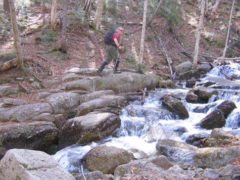
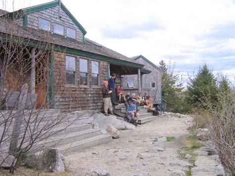
We all met up at Zealand Falls Hut for snacks and a change of socks. There were a few spills, so it was a good opportunity to break out the first aid kit! We descended the Zealand Trail, a 2.3 mile walk in the woods. This is a flat, smooth trail with pretty views.
Total time: 7 hours. We skipped ice cream as the hour was getting late and most places are still closed for the season. All-in-all, another great day in the woods with the SDH! More Photos
Members may see more photos in our online photo album.
