Ascutney, November 1, 2008
Preview
") We will ascend and descend Mount Ascutney located in Windsor and West Windsor, Vermont via Windsor Trail. It is 6.8 miles and you should allow 5 hours to complete the hike.
We will ascend and descend Mount Ascutney located in Windsor and West Windsor, Vermont via Windsor Trail. It is 6.8 miles and you should allow 5 hours to complete the hike.
It is encouraged to wear a costume in celebration of Halloween. Don't worry about coming up with an elaborate costume. Anything that makes a statement and is comfortable enough for hiking is fine but you certainly don't have to have a costume at all.
Dogs are welcome.
I will be doing more wait-ups than usual since many have never hiked this mountain (at least recently) and there are several adjoining trails to the Windsor Trail. We will likely stop in Claremont, NH for refreshments after the hike and hope to have some of our Meetup friends along on this hike.
 and the genie (Rose) (photo by Mark Malnati)")
")
NEXT HIKE: November 1, Mount Ascutney
MEETING SPOTS: Rayond Post Office at 7:15 a.m.
Park and Ride, exit 2 off of Rt. 89 at 7:45 a.m.
Windsor Trailhead at 9:00 a.m
TRAILHEAD: Take I-89 North into Vermont and then take the I-91 exit into Norwich and turn onto I-91 South. Get off in 14.2 miles at Exit 9 - "Hartland-Windsor". At the ramp turn left onto Route 5 South and follow it for 4.1 miles through downtown Windsor. Turn right onto Route 44 West and follow it along a brook and under the I-91 bridges. Continue uphill and converge with a side road (Route 44A) coming in from the left 3.3 miles from the center of Windsor. Turn sharply left onto this road and in 100 yards come to the Windsor Trail parking lot on the right.
HIKE LEADER: Diane King
")
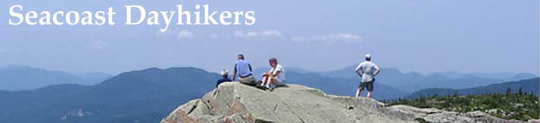
Ten Seacoast Dayhikers (including a pirate and a genie) hiked 2.7 miles up the leafy Windsor Trail to summit Mount Ascutney. The weather was clear and beautiful, although there was a thin layer of ice dotting the trailway just after the shelter but before the peak which was easily avoidable.
")
")
We stopped at the shelter about mid-way to view the rustic lean-to which was well stocked with firewood, pots, pans and coffee mugs. I did some "reverse trick-or-treating" handing out candy to all kinds of hikers along the way. There was some type of military detail just below the shelter on a break but they are trained not to accept such amenities -- oops! One of the Seacoast Dayhikers got a chill and departed the shelter ahead of us leaving a trail of colored candy kisses on the trail to mark the way and hid a couple at the junction and we had to find them -- a scavenger hunt!
")
We were able to get a 360-degree view while on the firepower viewing several Vermont ski mountains. We spent quite a bit of time at the rocky summit sprawled out enjoying the sun, a little bit of a view and conversation.
We carefully hiked down with a little slipping over the "dry" leaves and detoured to view Brownsville Rock which had a nice lookout over the town. We encountered a Boy Scout troop and I had to tap into Dennis' candy stock from there on.
")
")
We were down by 2:30 so the hike took about 4.5 hours. Eight of us drove to Claremont with dueling GPS to take us to Ramunto's which was at the recommendation of Diane from the Meetup. She was delayed at work and, therefore, unable to join us as planned. We all loved the restaurant and departed taking scenic Route 103 instead of the interstate.
")
")
Members may see more photos in our online photo album.
")
")